Last news
-
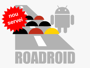
Roadroid
Roadroid offers a mobile app for Android smart phones, to monitor road condition, and a web site with color-marked maps displaying results.
-
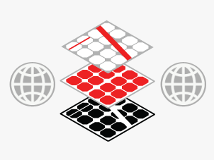
GeoWeb
We offer on-demand developed solutions for the publication of web maps and geographical information systems.
-
Maps on mobile devices
We develop map viewers and GIS solutions for iPhone, Android and web browsers for 3G mobile devices.
-
Data harvesting &
Economic activities classificationWe collect, classify and geo-locate data from urban commerce, business and industries.
-
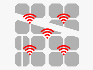
Smart Geo services
We publish and analyze data from sensor networks and “smart grids”.
-
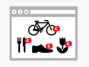
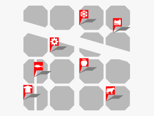
Commerce catalog
We publish commerce information from the whole city or from a specific area.
-
Open data
We collaborate with our clients in sindicating, publishing and sharing geographic contents on Spatial Data Infrastructures.
-
GeoMarketing
We develop systems to create and publish statistics graphics on-line, using the information of an specific geographic area.
-
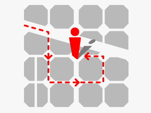
Augmented Reality
The content of our maps can be shown overlaying the camera view of a 3G cellular phone.

-
Cataloguing &
products geo-locationWe catalogue and geo-locate commerce products and offers and make them available on the web-site and cellular phone.